
| [Home -> Armin Grewe's holidays -> Islay Walking Week April 2005 -> RSPB Loch Gruinart] [Contact] |
Walk 10
From climbing Islay's highest hill to something lower down: Thursday's walk took us from Gruinart over the moor to Ardnave and then back along the shoreline. We met at the RSPB Loch Gruinart Visitor Centre, from where James How took our small group on to the long walk while another group went to visit the hide for some bird watching. |
 |
 |
|
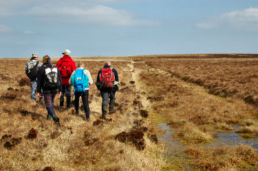 |
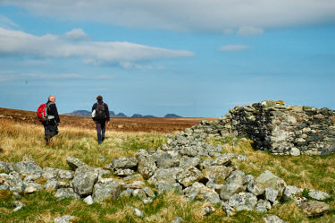
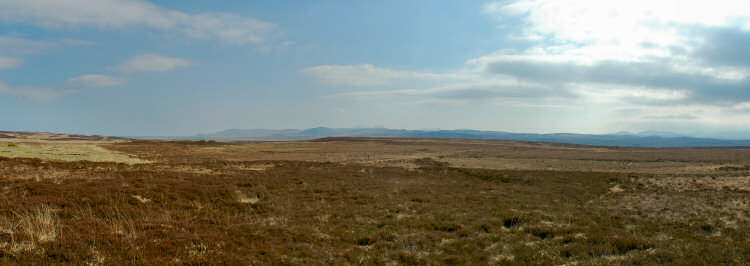
From the visitor centre we walked towards Maol Bhuidhe, past the ruins of the cottage (the map shows it as a sheepfold, something it probably was last used for) and on towards Loch an Fhir Mhór. While the ground was mainly flat (especially after going up Beinn Bheigier) it was still quite exhausting: The ground was very tussocky or boggy in places, making walking fairly difficult. We had to get around quite a few very wet areas.
We didn't see as many birds as we had hoped, but we saw deer in various places. Or did the deer see and watch us? |
 |
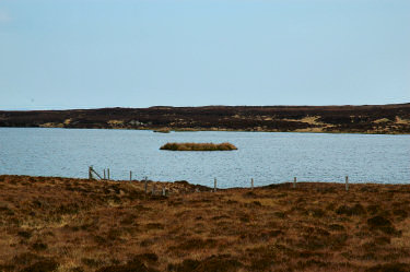 |
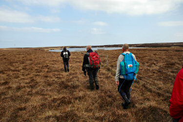
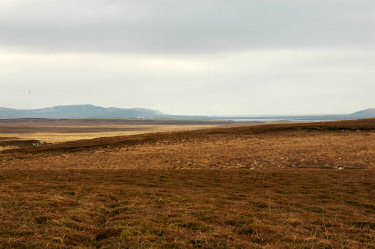
| We then arrived at Loch an Fhir Mhór, where we could see what remained of a small crannog. Looking into the opposite direction we could see Carnduncan and Loch Gorm, as well as the crags over Machir Bay in the distance. Unfortunately clouds had moved in by now and visibility was limited.
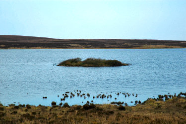
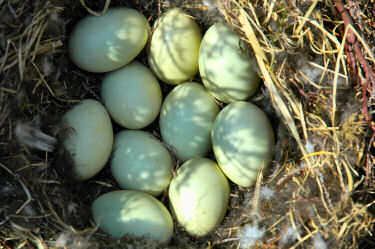
Our next stop was at Loch Laingeadail, the largest Loch in the area. As most larger lochs in the area it also contains the remains of a crannog, last populated a long time ago. We followed the southern shore of the loch to the end, where we stopped for lunch. After lunch we initially followed Casach Loch Laingeadail before cutting over towards Tayovullin. James found a bird's nest containing 10 eggs, plenty of pictures were taken of it. |
 |
 |
 |
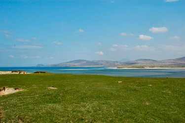 |
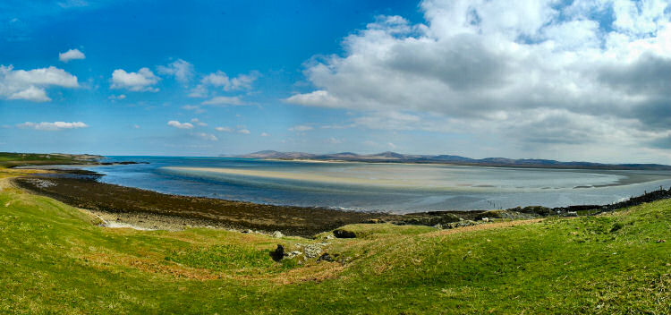
As we were approaching Tayovullin and then continuing towards Ardnave the sun came out again. We walked along Ardnave Loch for a short while before turning off through the dunes towards Loch Gruinart. Over Loch Gruinart we hade very nice views towards Killinallan Point and the north of Islay. Using binoculars we could make out participants of the second short walk led by Catherine Fotheringham approaching Killinallan.
The view below is also available as a QuickTime VR panorama of the view north east over Loch Gruinart (1.1MB download). The view is from the dunes at Ardnave to the north of Islay with Bolsa, Killinallan Point and then the sandbanks of Loch Gruinart. Unfortunately some clouds were moving in quickly from the south, making the panorama darker than I would have liked. |
 |
|
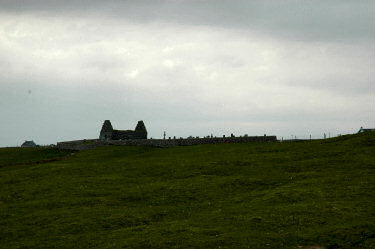 |
Along the shoreline our walk continued south again. At Kilnave we left the shore for a while for a quick visit to the ruin of Kilnave chapel and a look at the celtic cross.
We then followed the shoreline all the way to the top of Loch Gruinart and Trágh Ghruineart, where we returned to the RSPB visitor centre. A nice cup of tea and some homemade shortbread was waiting for us after a very nice but tiring walk. |
Beinn Bheigier <- WalkIslay 2005 -> Kilchoman and Kilchiaran
 |
Copyright © 2005-2006 Armin Grewe - FAQ |
 |