
| [Home -> Armin Grewe's holidays -> Scotland Summer 2005 -> Low clouds in the Cairngorms] [Contact] |
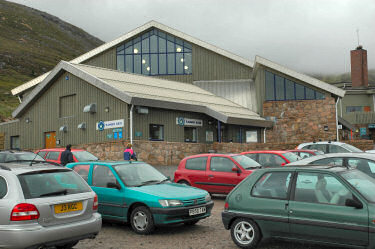 |
The previous day the clouds had lifted over the Cairngorms so I was hoping for similar weather this day when I woke up in the morning. After a nice morning jog through the woodlands I had discovered the previous evening and a large breakfast I drove back to Aviemore and then up to the Coire Cas carpark. During the drive and after arriving at the base station I had watched the weather and it seemed the clouds were lifting.
I registered my plans at the ranger station and then set out for my walk: My plan was to walk up Coire an t-Sneachda, make my way up to Cairn Lochan and if the clouds continued to lift walk on to Ben Macdui. If the weather didn't improve I would return via Stob Coire an t-Sneachda and Choire Chais. |
 |
 |
 |
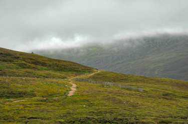
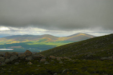
Walking past Fiacaill a Choire Chais the clouds continued to lift over Fiachaill Coire an t-Sneadach. Soon I reached the corrie and followed Allt Coire an t-Sneachda into it. Looking back I could see the clouds lifting above Meall a' Bhuchaille (810m) and the sun breaking through over Loch Morlich.
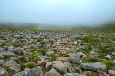
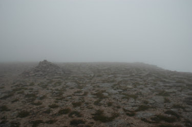
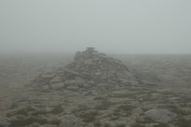
But all to soon the path disappeared into the clouds and very low visibility again. I decided to continue and made my way up to the plateau. After a steep climb I walked on towards Cairn Lochan, hoping that visibility might improve. Without map and compass it would have been impossible to walk anywhere here. The clouds didn't seem to budge though and I decided to abandon the plan to walk on to Ben Macdui. What's the point in going to the second-highest Munro in Scotland when you can't see anything? |
 |
 |
 |
Via Stob Coire an t-Sneachda and Choire Chais I returned to the base station and registered my return at the Ranger station. A late lunch in the car and then I was off to drive to Inchnadamph with a few potential stops on the way.
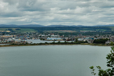
Soon I passed Inverness and crossed the Beauly Firth over the Kessock Bridge. A short stop at the North Kessock Dolphin and Seal Centre (didn't see any dolphins though) with a nice view over to Inverness, then I continued to Dingwall where I filled up the car with petrol for the long drive into the Northern Highlands. |
The map used for this walk was Explorer 403: Cairn Gorm & Aviemore.
Queens View and Carrbridge <- Scotland Summer 2005 -> Rogie Falls (incl salmon leaping)
 |
Copyright © 2005 Armin Grewe |
 |