
| [Home -> Armin Grewe's holidays -> Scotland Summer 2005 -> Glen Affric and Màm Sodhail] [Contact] |
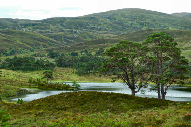 |
Having enjoyed a large breakfast at Arden Lodge I was ready for some serious walking and drove over to Glen Affric. This was my second visit after a first visit in glorious weather in 2003 (see also forest walks at Plodda Falls). During the previous visit I only had time for short walks, this time I was hoping for more.
Unfortunately the weather wasn't anywhere near as good as during the first visit, it was cloudy and I decided to start with some low level walking. Walking around Loch Affric was the obvious option, walking clockwise (i.e. southern side first). From the car park at the bottom of Loch Affric I followed the Forestry Commission track, joined by an English teacher from France who had decided to walk around the loch as well. She had only fairly recently started walking and was very much enjoying it, in particular the beautiful Scottish landscapes. |
Approximately 1/3 of the way around Loch Affric we stopped at some rocks from where we had a great view over Loch Affric and the mountains on the northern side of Loch Affric. You can also view a QuickTime VR panorama over Glen Affric and Loch Affric: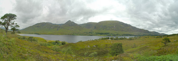 |
|
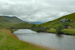 With the clouds lifting high enough I decided to attack at least one Munro, leaving the French girl behind who had decided to take a break I quickly made my way to the bridge over River Affric at the western end of Loch Affric. Turning north I had a nice view west along Glen Affric towards Alltbeithe (one of the most remote youth hostels in the UK can be found there), but that had to wait for another visit. I turned east instead following the path around Loch Affric. With the clouds lifting high enough I decided to attack at least one Munro, leaving the French girl behind who had decided to take a break I quickly made my way to the bridge over River Affric at the western end of Loch Affric. Turning north I had a nice view west along Glen Affric towards Alltbeithe (one of the most remote youth hostels in the UK can be found there), but that had to wait for another visit. I turned east instead following the path around Loch Affric. |
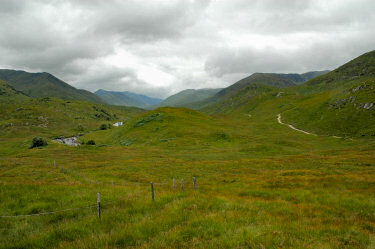 |
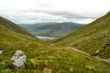
| Walking north east along the northern shore I made my way towards the bottom of Coire Leachavie. Here I left the path around Loch Affric and walked up into the corrie. Despite the path it was quite rough going in places as the path is eroding badly. About half way up the corrie I took a break for a quick lunch as the energy from the breakfast was beginning to run out. The view back to Loch Affric made it a nice place for a rest.
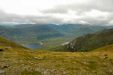
With the summit of Màm Sodhail hiding in the clouds again I decided to take a look at Mullach Cadha Rainich and Sgurr na Lapaich first and climbed up the northern side of the corrie. From the ridge I had some great views over the western end of Loch Affric and into Gleann na Cìche. Then it was on to Sgurr na Lapaich. |
|
 |
 |
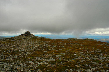
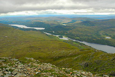
| Along the ridge I walked towards Sgurr na Lapaich. Despite its height of 1036m it is not classed a Munro, a Munro with the same name is approx 25 miles further north. Just as I arrived at the cairn the clouds came down almost all the way, but then luckily moved up again. Slightly below the cairn I had a nice view east over Loch Affric and Loch Beinn a' Mheadhoin. On a clear day the view must be even better, but even on a cloudy day like I had it was impressive. | |
 |
 |
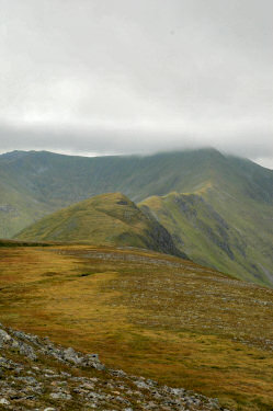 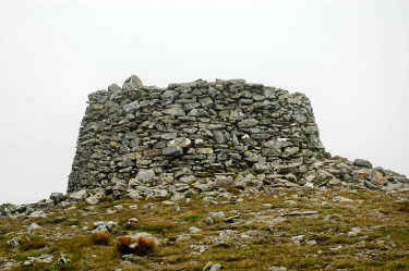 Hoping that the cloud would lift further I turned back on to the ridge to walk the two miles to the summit of Màm Sodhail (1181m, thirteen highest mountain in Britain). Hoping that the cloud would lift further I turned back on to the ridge to walk the two miles to the summit of Màm Sodhail (1181m, thirteen highest mountain in Britain).
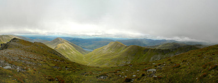
I was in luck, when I passed Mullach Cadha Rainich with one mile to go to the summit of Màm Sodhail the clouds lifted. Not much but enough to clear the summit with its huge cairn. I made it to the summit just in time before the clouds closed in again. The cairn is impressive, easily 6ft high but strangely with no 'entrance' through the wall. As the clouds were coming down again I didn't stay long and soon started with the descent. From just below the summit of Màm Sodhail I had a very nice view looking east over the ridges and corries. This view is also available as a QuickTime VR panorama of Coire Leachavie from Màm Sodhail: |
|
 |
|
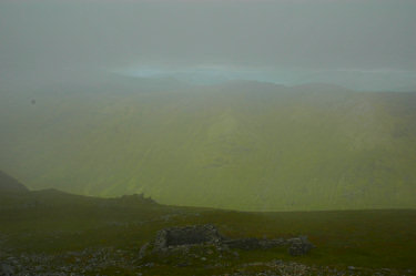
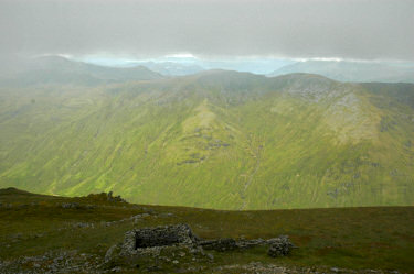
| To illustrate how quickly the weather can change and clouds can lift or come down in the Scottish mountains below two pictures taken within approx 2 minutes. The view is west over Gleann a' Choilich. On the left you can only just make out the other side of the glen (approx 1.5 miles away), on the left you can see it quite well and can even make out some of the mountains behind it.
It didn't get much worse, but to be on the safe side I quickly took the compass bearings towards the path leading down Coire Leachavie. I didn't need them in the end, but better safe than sorry. |
|
 |
 |
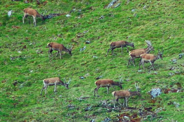 |
Walking down the path through Coire Leachavie I noticed something moving on the flanks of An Tudair. Looking closer I realised there was a large number of deer, probably 50+ of them, possibly as many as 100 (I don't have much practice in counting them...). Using my strongest lense I managed to take a few pictures of them before they reached the top of the ridge and disappeared.
Once I reached the path around Loch Affric I was on the home straight, the last mile still felt very long though. When I arrived at the car it was almost 20:00. After being almost eaten alive by the midges while changing I drove over to the Steading Bar for dinner. My hosts at the Arden Lodge had recommended it, unfortunately I arrived too late for the restaurant. But they were flexible enough to be still make me a fish and chips basket, one of the best I've had for quite a while. |
| The maps used for this walk were Explorer 415: Glen Affric and Glen Moriston and Explorer 414: Glen Shiel and Kintail Forest. | |
Summer Isles and Ullapool <- Scotland Summer 2005 -> Driving south
 |
Copyright © 2005 Armin Grewe |
 |