
| [Home -> Armin Grewe's holidays -> Islay Walking Week April 2006 -> Bholsa and Rhuvaal] [Contact] |
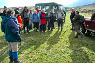 |
Tuesday, the day for the longest walk of WalkIslay 2006 had arrived. Jack Adamson took us around the remote north of Islay, taking in Bholsa and Rhuvaal.
The walk started at Gortantaoid, where we were taken by four wheel drive vehicles as the track isn't really suitable for normal cars. I was in the car of Jeremy Hastings of Islay Birding, who gave us some interesting information about wildlife and bushcraft while driving us to the drop off point. After an introduction and some guidance by Jack we left, initially following a track towards the coast. A short rain shower hit us early in the walk, a good or a bad sign? As it turned out a good sign, we had great weather for the rest of the day. |
 |
|
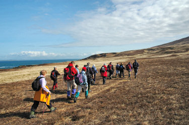 |
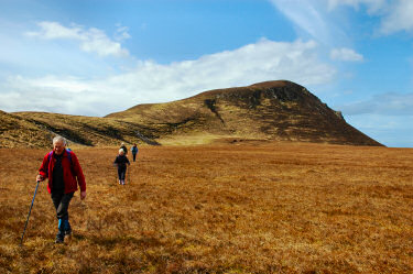
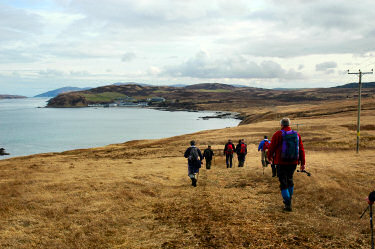
Soon the sun came out as we walked over wide open spaces with huge views. In the distance we could see Oronsay and Colonsay, our destination for the next day.
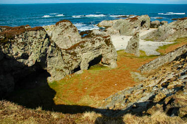
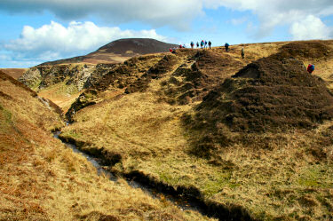
The walking was quite varied: Long flat straights over wide open spaces, rocky cliffs with large numbers of caves and arches on the shore or deep cuts from the burns running off the hills. A number of burns had to be crossed, although none brought any difficulties. The ground was drier than most had expected and as it was early in the year the vegetation was still quite low, allowing us to make good progress. Regular breaks allowed us to rest and Jack explained various features of the landscape and pointed out wildlife where possible. |
 |
 |
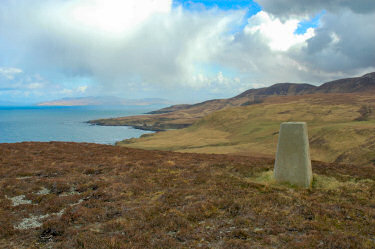 |
After two and a half hours we reached one of the milestones of the walk: Mala Bholsa. While some rested at the bottom a number of us climbed to the 127m summit of this hill for a good view over the north coast of Islay and over to Oronsay and Colonsay (as well as what we had covered so far and what lay ahead).
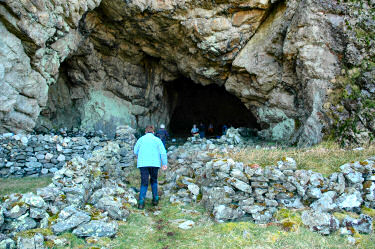
Half an hour later we were on our way again, turning east after having walked in a north easterly direction during the first section of the walk. The walk now followed the raised beaches until we reached Port a' Chotain, where we dropped down to the shore. Our first point of call was the huge cave at Uamh Mhor, the largest cave in the area. |
 |
 |
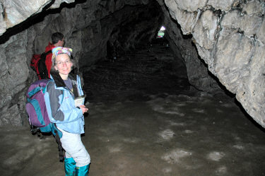 |
We explored the cave for a while and went in as far as possible. In several places the cave is easily 15-20ft high, it also goes into the cliff quite deep.
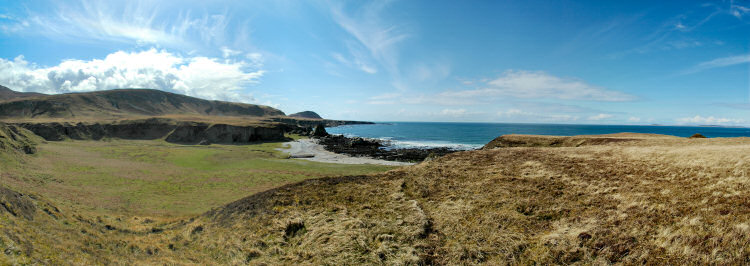
Now it was time for lunch, in bad weather we probably would have sheltered in the cave, but in the warm sunshine we prefered to stay outside. Jack produced a bottle of Islay Single Malt from a secret hiding place and most of us had a wee dram to 'celebrate' reaching another milestone of this walk. After leaving our lunch place and climbing up to the raised beach again we had a nice view over the raised beaches, the cave and all the way to Bholsa. You can also view a QuickTime VR panorama of the view over Bholsa and Port a' Chotain: |
 |
|
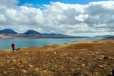
Continuing eastwards we passed Bàgh an Dà Dhoruis with its sandy beach, enjoying further excellent views. The view along the north coast and over the sea to four neighbouring islands was impressive. You can also view a QuickTime VR panorama of the view over the North Coast of Islay: |
|
 |
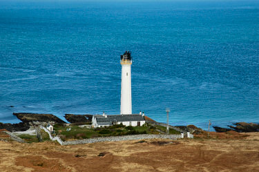
Walking up Cnoc na Faire (92m) the next milestone of our walk came into view: Rhuvaal Lighthouse at the top of the Sound of Islay. From the hill we had great views over the sound to Jura with the famous Paps of Jura in full view, no low clouds obscuring the summits.
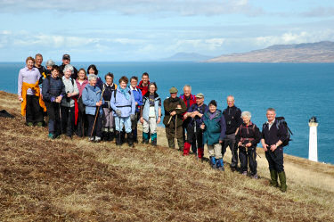
After a group photo of all the walkers we descended to the lighthouse. Jack spoke with the 'lighthouse keeper' (no, they are not really lighthouse keepers, the lighthouse is fully automated), who came out and showed us a bit of the area including a cave/ tunnel just below the lighthouse before guiding us on to the quickest and driest way south. |
 |
 |
 |
Now we were on the home stretch, turning south to follow the shore of the Sound of Islay. Last reserves were mobilised for the last two miles once Bunnahabhain Bay came into view.
After 14 miles and just under eight hours (incl breaks) we had earned another three points for a 'walkislay mug', as well as a wee dram of Bunnahabhain presented by the distillery manager. This walk was certainly one of the highlights of the Islay Walking Week 2006, visiting areas far off the beaten track not easily reached. |
Previous: Isle of Jura <- Islay Walking Week April 2006 -> Next: Isle of Colonsay
 |
Copyright © 2006 Armin Grewe |
 |