
| [Home -> Armin Grewe's holidays -> Islay Walking Week April 2006 -> Proaig and McArthur's Head] [Contact] |
 |
This walk wasn't really new for me, I had already completed it twice: First during a visit with my sister in 2004, then again in August 2005 in a trial run for the walking week. Nevertheless I decided to participate in the walk again, as it is a really nice walk through beautiful landscape, especially on a sunny clear day this looked likely to be.
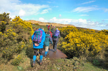
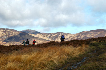
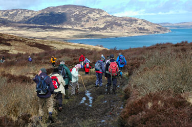
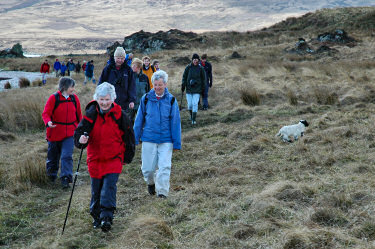
We met Callum Sharp who was going to be our guide today at Ardtalla and soon we were on our way towards Proaig. First over the wobbly metal footbridge crossing a burn and then out into the hills. The path turned out to be quite muddy in places, making progress quite slow for a time. But after a while conditions improved and while still fairly wet the walking was very pleasant. Proaig as our first destination came into view and after just over an hour we arrived at the girders to cross Abhainn Proaig. |
 |
 |
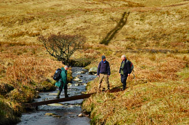 |
During the summer it's just as easy to ford the burn, but in spring with more water most walkers decided to use the girders to cross Abhainn Proaig to reach the bothy. We had lunch at the bothy, most people sitting at the wall near the beach.
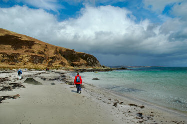
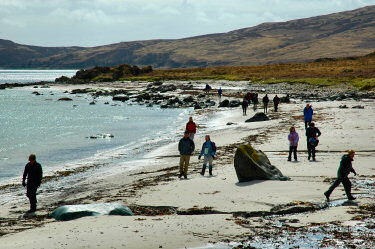
After lunch it was decision time: Return to Ardtalla directly, wait at Proaig for the others to return or continue to McArthur's Head. The vast majority chose McArthur's Head. First along the shore, then over a beach the walk continued until the first challenge arrived: Carraig an Ràtha. While not particularly high the hill is fairly steep and from sea level just under 100m high have to be climbed before levelling out and continuing towards McArthur's Head. |
 |
 |
 |
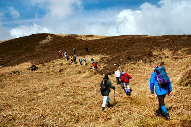 |
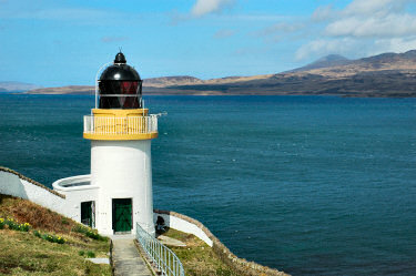
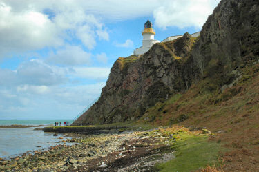
A few walkers (who shall not be named) decided the climb was too much for them and stayed at the beach, the rest tackled the climb. Once enough height was gained we continued north over some quite rough ground. But the efforts were worth it when the Sound of Islay and the lighthouse came into view: 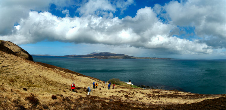 |
|
 |
We then entered the grounds of the lighthouse for a look around the area.
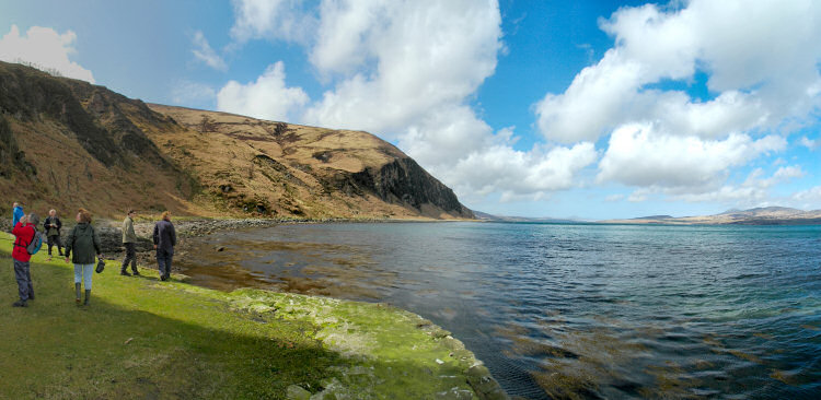
The lighthouse was designed by Thomas and David Stevenson of the famous Stevenson family in 1861. There used to be a house and a garden for the lighthouse keeper near the lighthouse, but they were demolished after the lighthouse was automated in 1969. Large solar panels installed in 2005 now generate the energy to power the lighthouse. Some of us the walked the 100+ steps down to the shore below McArthur's Head. The views of the cliffs and over the Sound of Islay to Jura were quite impressive. You can also view a QuickTime VR panorama of the view over the Sound of Islay from below McArthur's Head: |
 |
|
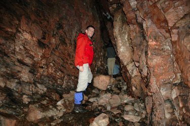
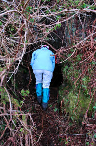 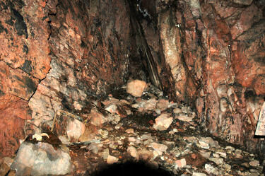 Now it was time to explore the cave, believed to be used by illegal whisky distillers in the past: Now it was time to explore the cave, believed to be used by illegal whisky distillers in the past:
The entrance is fairly well hidden (the illegal distillers probably liked it that way), I'm not sure if I had found it without help. But after climbing through the narrow passageway the cave is quite big, I think we were about seven or eight people going into the cave and we had plenty of space left. We then climbed up the stairs to the lighthouse again and returned to Ardtalla the same way we had come. After 7-8 miles and 5 hours (incl breaks) we had earned another two points for a 'walkislay mug' and had completed our second dry walk of the walking week. |
|
 |
 |
Previous: Storakaig and Islay's Fruit Basket <- Islay Walking Week April 2006 -> Next: Isle of Jura
 |
Copyright © 2006 Armin Grewe |
 |