
| [Home -> Armin Grewe's holidays -> Scotland Summer 2004 -> The Merrick] [Contact] |
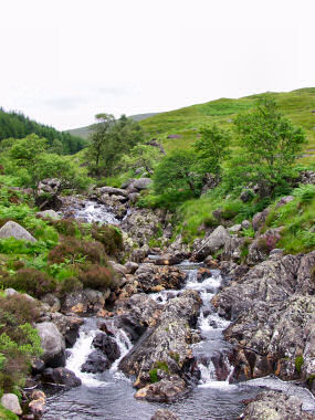 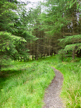 Time for some hillwalking, while the weather wasn't great at least it was dry and didn't look like it was going to rain. From Castle Kennedy I drove east to the Galloway Forest Park. The summit of The Merrick was my destination for today. After parking my car near Bruce's Stone in Glen Trool I left on the path along Buchan Burn. There are some nice small waterfalls early on before the path moves into the woods and you lose sight of the burn. Time for some hillwalking, while the weather wasn't great at least it was dry and didn't look like it was going to rain. From Castle Kennedy I drove east to the Galloway Forest Park. The summit of The Merrick was my destination for today. After parking my car near Bruce's Stone in Glen Trool I left on the path along Buchan Burn. There are some nice small waterfalls early on before the path moves into the woods and you lose sight of the burn.
I then passed the disused bothy at Culsharg before continuing up the slopes of Benyellary. After the comparably boring walking through the woods the views now became more interesting. Unfortunately visibility wasn't great, but I could still enjoy the views. After about an hour with some quite steep paths I reached Benyellary (719m). From here I had good views over the Neive of the Spit ridge leading towards The Merrick as well as various lochs in the glens around: |
|
 |
|
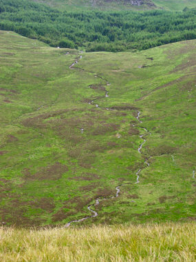 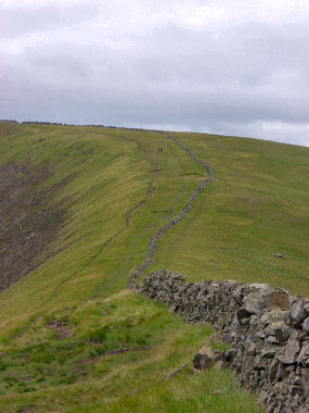 From Benyellary I continued along the path which follows the drystone wall on the Neive of the Spit ridge crest. About half way towards The Merrick is a nice view down over Gloon Burn (picture on the right). From Benyellary I continued along the path which follows the drystone wall on the Neive of the Spit ridge crest. About half way towards The Merrick is a nice view down over Gloon Burn (picture on the right).
There weren't too many other walkers around, in the picture on the right you can just make out two walkers I had passed earlier. Finally I arrived at the summit of The Merrick (843m), where I had my lunch and enjoyed the views. As it was cloudy and quite hazy in the distance visibility was limited and the pictures didn't come out very well. You have to trust me that the views were still nice. |
|
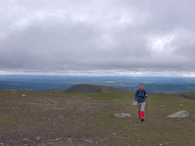 |
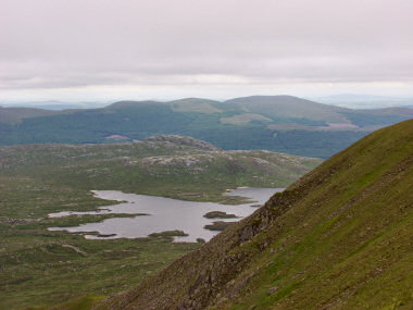 |
I had decided to return a different way than I had come up and started my descent down Redstone Rig on the eastern side of The Merrick. Soon I had beautiful views over Loch Enoch and the Rhinns of Kells behind it:  |
|
From Loch Enoch I walked through Craig Neldricken, past tiny Loch Arron and then down Ewe Rig to reach Loch Neldricken. I spent some time here, including a look at the tiny beaches dotting its shores (not visible in the picture). I also walked through "Murder Hole", I'm not sure where the name comes from though and if a murder took place here.  |
|
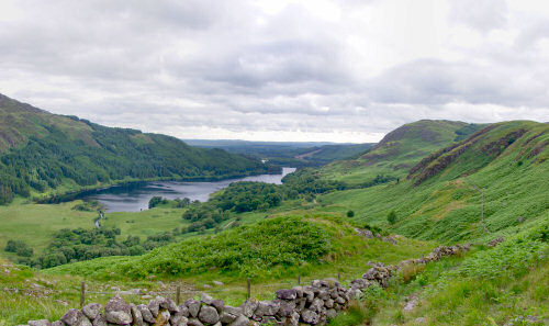 Following Gairland Burn I continued into Glen Trool, back to where I had started. From the slopes of Buchan Hill I the nice view of Loch Trool on the left. Following Gairland Burn I continued into Glen Trool, back to where I had started. From the slopes of Buchan Hill I the nice view of Loch Trool on the left.
Despite the mostly cloudy weather and the resulting poor visibility I thoroughly enjoyed this walk. I covered approx 9 miles in about 7 hours (including plenty of photo and "enjoying the view" breaks) This walk is also described in the Lonely Planet, Walking in Scotland guide, the map I used is Landranger Map 0077: Dalmellington & New Galloway, Galloway Forest Park |
|
Previous: The Rhinns of Galloway <- Scotland Summer 2004 -> Next: Travelling to Arran
 |
Copyright © 2004-2006 Armin Grewe - FAQ |
 |