
[Home -> Armin Grewe's holidays -> Scotland Summer 2006 -> Lossit Bay and the Rhinns of Islay] [Contact] |
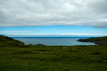 |
Was my decision to drive past Lossit Bay the previous afternoon the right decision? Early on the Thursday it didn't look like it, it was quite cloudy and dull. I decided to drive out to Lossit anyway and try my luck. Making my way out to Lossit Bay carefully avoiding the sheep and cattle in the fields I caught the first glimpses of blue sky, thinking I might be in luck after all.
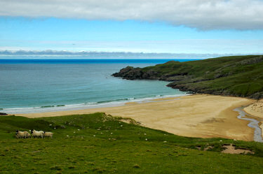
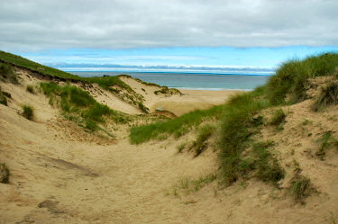
After a while I caught the first views of the bay, soon followed by the first impressions of the beach. Even though it was still fairly cloudy the view was quite impressive, Lossit Bay is certainly one of the most beautiful bays on Islay. Through the dunes I walked down to the beach, at least at first glance it looked like I had the beach for myself. I spent some time on the beach, just looking around, walking up and down and enjoying its beauty. |
 |
 |
Standing on the beach close to the water you can take in the whole bay and the whole beach. While it was still cloudy over the beach (the clouds were breaking out west over the sea) this created a certain slightly dark and moody atmosphere. I've tried to capture all this in the 360° Quicktime VR panorama of Lossit Bay on Islay's west coast:  |
|
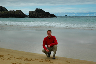 |
As I had my camera set up on the tripod anyway (from taking the pictures for the panorama) I thought I take a few self-portraits, you can see one of the results on the left. That's me on the beach in Lossit Bay. And no, that's not a submarine in the background, those are Frenchman's Rocks in the distance.
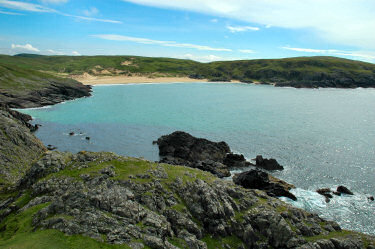
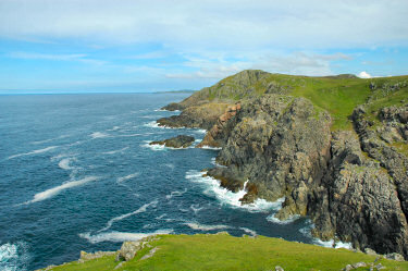
Now it was time to explore the surrounding areas, in particular north of Lossit Bay: I climbed up the hillside north of the bay, making my out to Lossit Point. By now the sun started to come through, rewarding me with some nice views back over Lossit Bay, also a sign what was to come later. From Lossit Point I had an impressive view north over the cliffs along the coastline. |
 |
 |
 |
From Lossit Point I decided to continue further north to see what this part of the coastline had to offer. It turned out to be quite a lot:
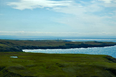
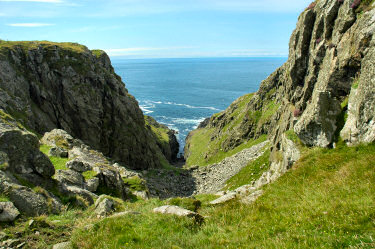
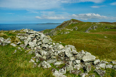
First of all there were impressive views looking south. Ireland was visible in the distance. Orsay with the Rhinns of Islay lighthouse was visible just behind the southern end of the Rinns of Islay. Lossit Bay was still visible, although I couldn't see the beach from up here. From my map I knew that there was a dun (hill fort) in the area, Dun Bhoraraig. After passing a deep cut into the cliffs at Rubha na Faoileige I came to the location, there wasn't much left though. I managed to find what looked like the remains of a wall, but that was pretty much it. I could see my next destination from here, Beinn Seasaimh. |
 |
 |
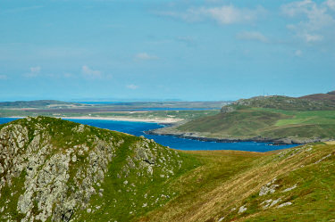 |
Ben Seasaimh is the highest hill with 139m on this stretch of Islay's western coast. As expected the views from here were quite impressive:
Looking north I could see Machir Bay and Loch Gorm behind Beinn Ghlas (130m). Even the Isle of Mull was visible in the distance, only just, but it was visible. Closer to me the entrance to Kilchiaran Bay, where I had been the previous day. There were things to see all round, Beinn Bheigier (Islay's highest hill), Most of The Oa, large parts of the Rhinns (or Rinns) of Islay, Ireland, you name it. A good impression of it should be possible from the Rhinns of Islay Panorama. A 360° Quicktime VR Panorama of the Rinns of Islay taking in all these locations and views: |
 |
|
 |
Finally I traced my way back to Lossit Bay, resting in a variety of places, enjoying the views and peacefulness and thinking about a number of things.
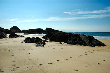
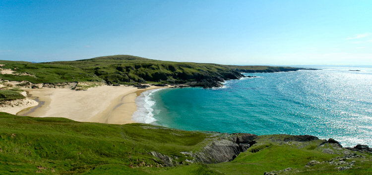
The clouds had almost completely disappeared by now, leaving only brilliant sunshine. The view over Lossit Bay was just amazing when it came into sight again. The golden sand, lush green hills around it, a light blue sea, beautiful! Back on the beach I walked to the southern end of the bay, where I explored the rock formations rising up from the sand. I could have spent some time here, but then I noticed clouds coming in from the north east and decided to head back to the car. I don't know if it reached Lossit Bay, but on my way back to Port Charlotte I saw an impressive black rain front coming in from over Bowmore. Luckily I was back at the hotel when it arrived. |
 |
|
| If you are interested in more information about Islay, Colonsay and Jura you might also be interested in my Isle of Islay, a visit to the beautiful island off the west coast of Scotland pages. There you will find many more pictures and further information about Islay, Jura and Colonsay. | |
Previous: An afternoon at Kilchiaran Bay, Islay <- Scotland Summer 2006 -> Next: Morning in Bridgend, Islay
 |
Copyright © 2007 Armin Grewe |
 |