
| [Home -> Armin Grewe's holidays -> Scotland Summer 2004 -> Coirein Lochain and Beinn Bhreac] [Contact] |

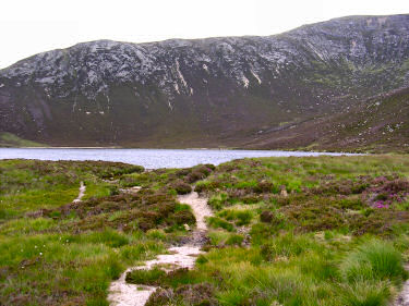
After leaving Thundergay the path crosses a few fields before reaching the heathery slopes below Meall Biorach. The path then mostly follows the burn of Uisge Soluis Mhóir, which also has to be forded a couple of times. There are several small waterfalls to be seen on the way, most of them fairly overgrown, so I didn't manage to take any good pictures. My first stop was at Coire-Fhionn Lochan, a small loch sheltering between Meall Biorach and Meall Bhig. I had a nice chat with a couple who had walked up to the loch and were having their lunch break on the small beach on the western end of the loch. I think they were planning to return to Thundergay, I continued further into the hills. Turning south I started to make my way up Meall Biorach, following a path on the western side of the hill. Kintyre was visible in the distance on the other side of Kilbrannan Sound, but it was too hazy too see very much. |
|
 |
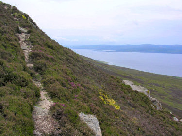 |
From Meall Biorach and later Meall Donn I had an excellent view over Coirein Lochain. If you have a fast connection (or enough time) you can also view a QuickTime VR panorama of the view over Coirein Lochain (note: 2MB download) 
I then turned south to reach my next destination: Beinn Bhreac. From Meall Donn I was presented with a fascinating view south, three summits in a row: Beinn Bhreac, Mullach Buidhe and Beinn Bharrain. 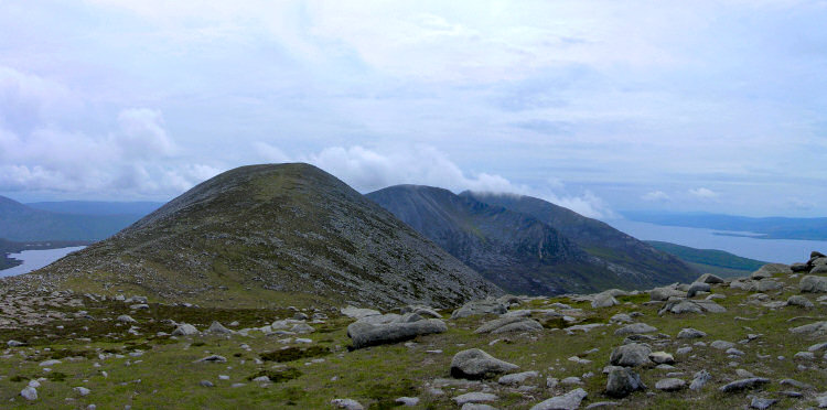 |
|
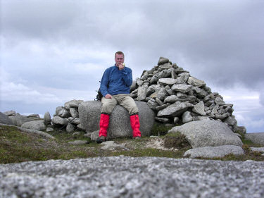 |
I had my lunch at the summit of Beinn Bhreac, enjoying the views over Glen Catacol among others. The sun started to come out occasionally, but it remained quite hazy.
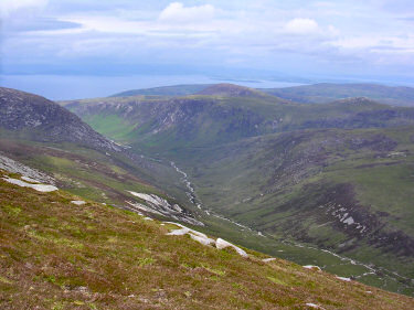
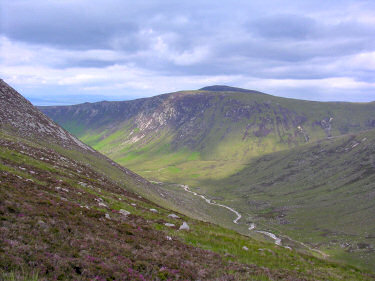
Glen Catacol is an impressive view from Beinn Bhreac, stretching for a few miles below it. Below left is a view looking north from Beinn Bhreac. Meall nan Dam is on the left, the glen turning left behind it, where it then ends at Kilbrannan Sound. Refreshed after lunch I started with my way back to Thundergay, taking a slightly different way than I had come up. I walked north parallel to Glen Catacol until I reached the gap between Coirein Lochain and Meall nan Damh. Here I took a short detour and walked towards Glen Catacol for a closer look (picture below right). Then it was just returning to Coire-Fhionn Lochan and retracing my steps along the burn back to Thundergay and my car. |
 |
 |
| This walk is a slight variation of a walk described in Walking on the Isle of Arran (A Cicerone Guide) by Paddy Dillon as Walk 27, Coire Fhion Lochain (I added the detour to Beinn Bhreac, as I was already on Meall Donn as well as the detour for the view of Glen Catacol). The map I used for this walk is the Explorer Map 0361: Isle of Arran (Explorer Maps). | |
Previous: Around Arran <- Scotland Summer 2004 -> Next: Travelling through Kintyre
 |
Copyright © 2004-2006 Armin Grewe - FAQ |
 |